Cartopy

Table Of Contents

Previous topic

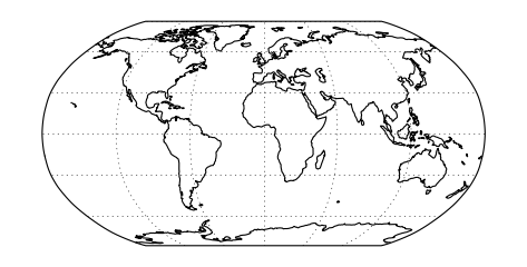
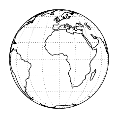
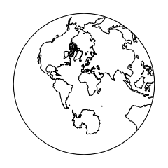
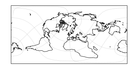
Coordinate reference systems in Cartopy

Next topic

Using the cartopy shapereader

This Page

Cartopy projection list

PlateCarree

class cartopy.crs.PlateCarree(central_longitude=0.0, globe=None)[source]

(Source code)

../_images/projections-1.png

(Source code)

../_images/projections-2.png

LambertConformal

class cartopy.crs.LambertConformal(central_longitude=-96.0, central_latitude=39.0, false_easting=0.0, false_northing=0.0, secant_latitudes=(33, 45), globe=None, cutoff=-30)[source]

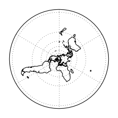
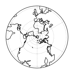
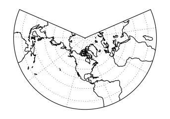
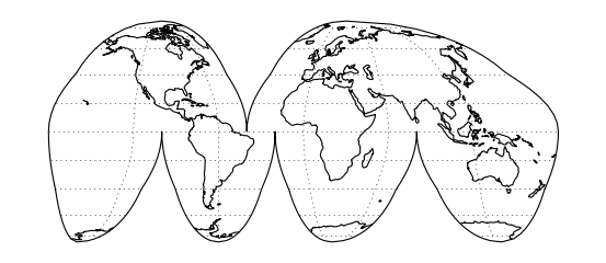
A Lambert Conformal conic projection.

Kwargs:

  • central_longitude - The central longitude. Defaults to 0.

  • central_latitude - The central latitude. Defaults to 0.

  • false_easting - X offset from planar origin in metres.

    Defaults to 0.

  • false_northing - Y offset from planar origin in metres.

    Defaults to 0.

  • secant_latitudes - The two latitudes of secant intersection.

    Defaults to (33, 45).

  • globe - A cartopy.crs.Globe.

    If omitted, a default globe is created.

  • cutoff - Latitude of map cutoff.

    The map extends to infinity opposite the central pole so we must cut off the map drawing before then. A value of 0 will draw half the globe. Defaults to -30.

(Source code)

../_images/projections-3.png

LambertCylindrical

class cartopy.crs.LambertCylindrical(central_longitude=0.0)[source]

(Source code)

../_images/projections-4.png

Mercator

class cartopy.crs.Mercator(central_longitude=0.0, min_latitude=-80.0, max_latitude=84.0, globe=None)[source]

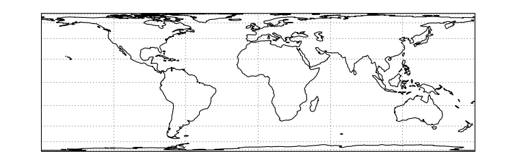
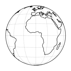
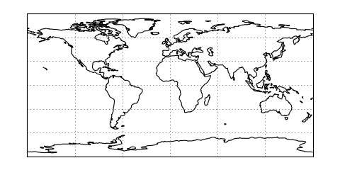
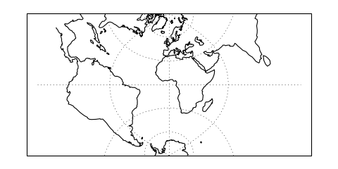
A Mercator projection.

Kwargs:

  • central_longitude - the central longitude. Defaults to 0.

  • min_latitude - the maximum southerly extent of the projection.

    Defaults to -80 degrees.

  • max_latitude - the maximum northerly extent of the projection.

    Defaults to 84 degrees.

  • globe - A cartopy.crs.Globe.

    If omitted, a default globe is created.

(Source code)

../_images/projections-5.png

Miller

class cartopy.crs.Miller(central_longitude=0.0)[source]

(Source code)

../_images/projections-6.png

Mollweide

class cartopy.crs.Mollweide(central_longitude=0, globe=None)[source]

(Source code)

../_images/projections-7.png

Orthographic

class cartopy.crs.Orthographic(central_longitude=0.0, central_latitude=0.0, globe=None)[source]

(Source code)

../_images/projections-8.png

Robinson

class cartopy.crs.Robinson(central_longitude=0, globe=None)[source]

(Source code)

../_images/projections-9.png

Stereographic

class cartopy.crs.Stereographic(central_latitude=0.0, central_longitude=0.0, false_easting=0.0, false_northing=0.0, true_scale_latitude=None, globe=None)[source]

(Source code)

../_images/projections-10.png

TransverseMercator

class cartopy.crs.TransverseMercator(central_longitude=0.0, central_latitude=0.0, false_easting=0.0, false_northing=0.0, scale_factor=1.0, globe=None)[source]

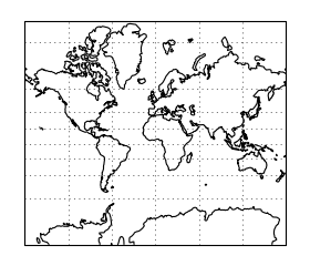
A Transverse Mercator projection.

Kwargs:

  • central_longitude - The true longitude of the central meridian in

    degrees. Defaults to 0.

  • central_latitude - The true latitude of the planar origin in

    degrees. Defaults to 0.

  • false_easting - X offset from the planar origin in metres.

    Defaults to 0.

  • false_northing - Y offset from the planar origin in metres.

    Defaults to 0.

  • scale_factor - Scale factor at the central meridian. Defaults

    to 1.

  • globe - An instance of cartopy.crs.Globe. If omitted, a

    default globe is created.

(Source code)

../_images/projections-11.png

InterruptedGoodeHomolosine

class cartopy.crs.InterruptedGoodeHomolosine(central_longitude=0, globe=None)[source]

(Source code)

../_images/projections-12.png

RotatedPole

class cartopy.crs.RotatedPole(pole_longitude=0.0, pole_latitude=90.0, globe=None)[source]

(Source code)

../_images/projections-13.png

OSGB

class cartopy.crs.OSGB[source]

(Source code)

../_images/projections-14.png

EuroPP

class cartopy.crs.EuroPP[source]

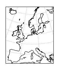
UTM Zone 32 projection for EuroPP domain.

Ellipsoid is International 1924, Datum is ED50.

(Source code)

../_images/projections-15.png

Geostationary

class cartopy.crs.Geostationary(central_longitude=0.0, satellite_height=35785831, false_easting=0, false_northing=0, globe=None)[source]

(Source code)

../_images/projections-16.png

Gnomonic

class cartopy.crs.Gnomonic(central_latitude=0.0, globe=None)[source]

(Source code)

../_images/projections-17.png

NorthPolarStereo

class cartopy.crs.NorthPolarStereo(central_longitude=0.0, globe=None)[source]

(Source code)

../_images/projections-18.png

OSNI

class cartopy.crs.OSNI[source]

(Source code)

../_images/projections-19.png

SouthPolarStereo

class cartopy.crs.SouthPolarStereo(central_longitude=0.0, globe=None)[source]

(Source code)

../_images/projections-20.png