Cartopy projection list
AlbersEqualArea
-
class
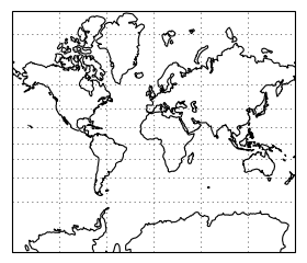
cartopy.crs.AlbersEqualArea(central_longitude=0.0, central_latitude=0.0, false_easting=0.0, false_northing=0.0, standard_parallels=(20.0, 50.0), globe=None)[source]¶ An Albers Equal Area projection
This projection is conic and equal-area, and is commonly used for maps of the conterminous United States.
Kwargs:
central_longitude - The central longitude. Defaults to 0.
central_latitude - The central latitude. Defaults to 0.
- false_easting - X offset from planar origin in metres.
Defaults to 0.
- false_northing - Y offset from planar origin in metres.
Defaults to 0.
- standard_parallels - The one or two latitudes of correct scale.
Defaults to (20, 50).
- globe - A
cartopy.crs.Globe. If omitted, a default globe is created.
- globe - A
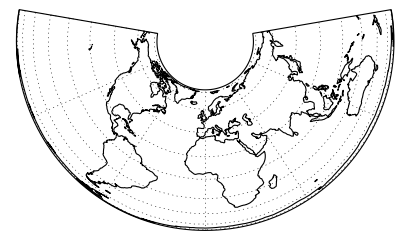
AzimuthalEquidistant
-
class
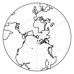
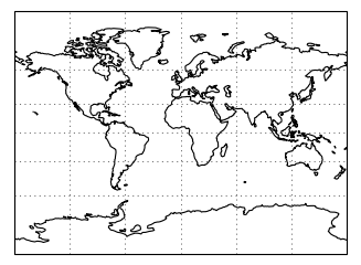
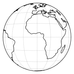
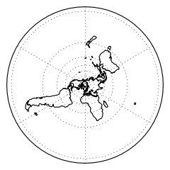
cartopy.crs.AzimuthalEquidistant(central_longitude=0.0, central_latitude=0.0, false_easting=0.0, false_northing=0.0, globe=None)[source]¶ An Azimuthal Equidistant projection
This projection provides accurate angles about and distances through the central position. Other angles, distances, or areas may be distorted.
Kwargs:
- central_longitude - The true longitude of the central meridian in
degrees. Defaults to 0.
- central_latitude - The true latitude of the planar origin in
degrees. Defaults to 0.
- false_easting - X offset from the planar origin in metres.
Defaults to 0.
- false_northing - Y offset from the planar origin in metres.
Defaults to 0.
- globe - An instance of
cartopy.crs.Globe. If omitted, a default globe is created.
- globe - An instance of
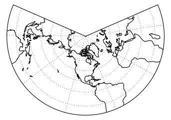
LambertConformal
-
class
cartopy.crs.LambertConformal(central_longitude=-96.0, central_latitude=39.0, false_easting=0.0, false_northing=0.0, secant_latitudes=None, standard_parallels=None, globe=None, cutoff=-30)[source]¶ A Lambert Conformal conic projection.
Kwargs:
central_longitude - The central longitude. Defaults to -96.
central_latitude - The central latitude. Defaults to 39.
- false_easting - X offset from planar origin in metres.
Defaults to 0.
- false_northing - Y offset from planar origin in metres.
Defaults to 0.
- standard_parallels - Standard parallel latitude(s).
Defaults to (33, 45).
- globe - A
cartopy.crs.Globe. If omitted, a default globe is created.
- globe - A
- cutoff - Latitude of map cutoff.
The map extends to infinity opposite the central pole so we must cut off the map drawing before then. A value of 0 will draw half the globe. Defaults to -30.
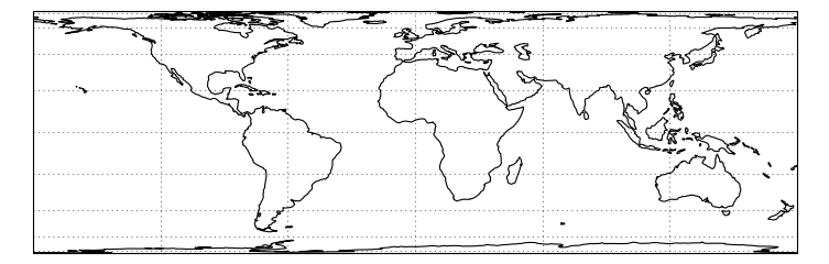
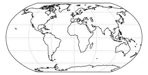
LambertCylindrical
Mercator
-
class
cartopy.crs.Mercator(central_longitude=0.0, min_latitude=-80.0, max_latitude=84.0, globe=None, latitude_true_scale=0.0)[source]¶ A Mercator projection.
Kwargs:
central_longitude - the central longitude. Defaults to 0.
- min_latitude - the maximum southerly extent of the projection.
Defaults to -80 degrees.
- max_latitude - the maximum northerly extent of the projection.
Defaults to 84 degrees.
- globe - A
cartopy.crs.Globe. If omitted, a default globe is created.
- globe - A
- latitude_true_scale - the latitude where the scale is 1.
Defaults to 0 degrees.
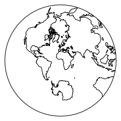
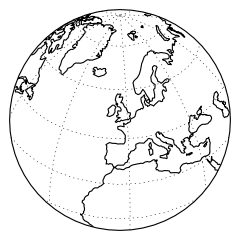
Orthographic
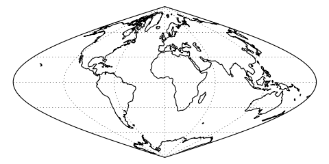
Sinusoidal
-
class
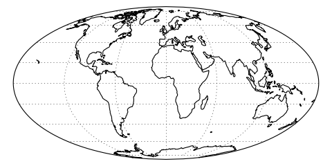
cartopy.crs.Sinusoidal(central_longitude=0.0, false_easting=0.0, false_northing=0.0, globe=None)[source]¶ A Sinusoidal projection.
This projection is equal-area.
Kwargs:
central_longitude - The central longitude. Defaults to 0.
- false_easting - X offset from planar origin in metres.
Defaults to 0.
- false_northing - Y offset from planar origin in metres.
Defaults to 0.
- globe - A
cartopy.crs.Globe. If omitted, a default globe is created.
- globe - A
Stereographic
-
class
cartopy.crs.Stereographic(central_latitude=0.0, central_longitude=0.0, false_easting=0.0, false_northing=0.0, true_scale_latitude=None, globe=None)[source]
TransverseMercator
-
class
cartopy.crs.TransverseMercator(central_longitude=0.0, central_latitude=0.0, false_easting=0.0, false_northing=0.0, scale_factor=1.0, globe=None)[source]¶ A Transverse Mercator projection.
Kwargs:
- central_longitude - The true longitude of the central meridian in
degrees. Defaults to 0.
- central_latitude - The true latitude of the planar origin in
degrees. Defaults to 0.
- false_easting - X offset from the planar origin in metres.
Defaults to 0.
- false_northing - Y offset from the planar origin in metres.
Defaults to 0.
- scale_factor - Scale factor at the central meridian. Defaults
to 1.
- globe - An instance of
cartopy.crs.Globe. If omitted, a default globe is created.
- globe - An instance of
UTM
-
class
cartopy.crs.UTM(zone, southern_hemisphere=False, globe=None)[source]¶ Universal Transverse Mercator projection.
Kwargs:
zone - the numeric zone of the UTM required.
- globe - An instance of
cartopy.crs.Globe. If omitted, a default globe is created.
- globe - An instance of
- southern_hemisphere - set to True if the zone is in the southern
hemisphere, defaults to False.

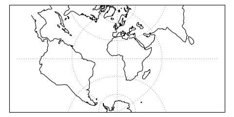
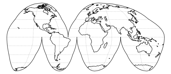
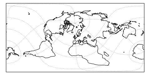
InterruptedGoodeHomolosine
RotatedPole
-
class
cartopy.crs.RotatedPole(pole_longitude=0.0, pole_latitude=90.0, central_rotated_longitude=0.0, globe=None)[source]¶ Defines a rotated latitude/longitude projected coordinate system with cylindrical topology and projected distance.
Coordinates are measured in projection metres.
Create a RotatedPole CRS.
The class uses proj4 to perform an ob_tran operation, using the pole_longitude to set a lon_0 then performing two rotations based on pole_latitude and central_rotated_longitude. This is equivalent to setting the new pole to a location defined by the pole_latitude and pole_longitude values in the GeogCRS defined by globe, then rotating this new CRS about it’s pole using the central_rotated_longitude value.
Args:
pole_longitude - Pole longitude position, in unrotated degrees.
pole_latitude - Pole latitude position, in unrotated degrees.
- central_rotated_longitude - Longitude rotation about the new
pole, in degrees.
Kwargs:
- globe - An optional
cartopy.crs.Globe. Defaults to a “WGS84” datum.
- globe - An optional
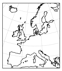
EuroPP
-
class
cartopy.crs.EuroPP[source]¶ UTM Zone 32 projection for EuroPP domain.
Ellipsoid is International 1924, Datum is ED50.
Geostationary
-
class
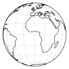
cartopy.crs.Geostationary(central_longitude=0.0, satellite_height=35785831, false_easting=0, false_northing=0, globe=None)[source]¶ Perspective view looking directly down from above a point on the equator.
NearsidePerspective
-
class
cartopy.crs.NearsidePerspective(central_longitude=0.0, central_latitude=0.0, satellite_height=35785831, false_easting=0, false_northing=0, globe=None)[source]¶ Perspective view looking directly down from above a point on the globe.
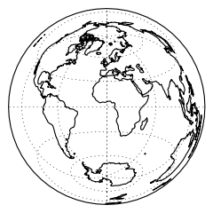
LambertAzimuthalEqualArea
-
class
cartopy.crs.LambertAzimuthalEqualArea(central_longitude=0.0, central_latitude=0.0, false_easting=0.0, false_northing=0.0, globe=None)[source]¶ A Lambert Azimuthal Equal-Area projection.
Kwargs:
central_longitude - The central longitude. Defaults to 0.
central_latitude - The central latitude. Defaults to 0.
- false_easting - X offset from planar origin in metres.
Defaults to 0.
- false_northing - Y offset from planar origin in metres.
Defaults to 0.
- globe - A
cartopy.crs.Globe. If omitted, a default globe is created.
- globe - A
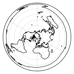
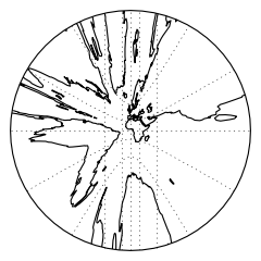
NorthPolarStereo
SouthPolarStereo