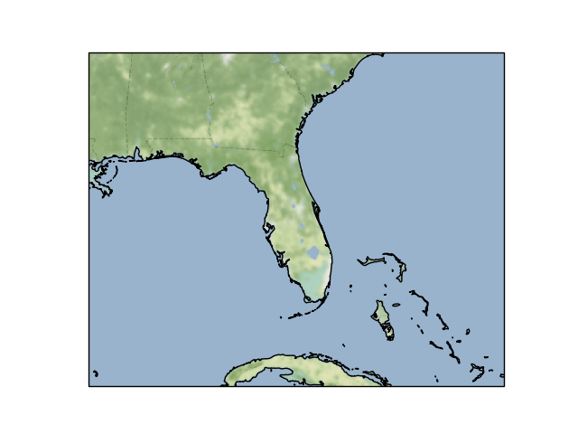
Web tile imagery
This example demonstrates how imagery from a tile providing web service can be accessed.

import matplotlib.pyplot as plt
import cartopy.crs as ccrs

from cartopy.io.img_tiles import StamenTerrain


def main():
    tiler = StamenTerrain()
    mercator = tiler.crs

    fig = plt.figure()
    ax = fig.add_subplot(1, 1, 1, projection=mercator)
    ax.set_extent([-90, -73, 22, 34], crs=ccrs.PlateCarree())

    ax.add_image(tiler, 6)

    ax.coastlines('10m')
    plt.show()


if __name__ == '__main__':
    main()
Total running time of the script: ( 0 minutes 0.052 seconds)
