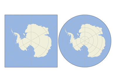
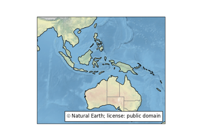
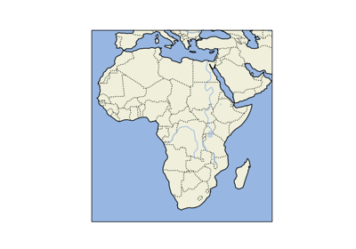
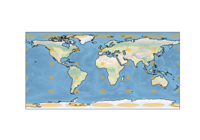
Navigation

  • index
  • outline |
  • next |
  • previous |
  • home| 
  • gallery| 
Cartopy

Table of Contents

  • Cartopy Gallery
  • Lines and polygons
  • Scalar data
  • Vector data
  • Web services
  • Gridlines
  • Miscellanea
  • Tick labels

Previous topic

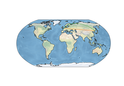
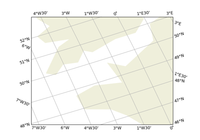
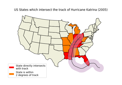
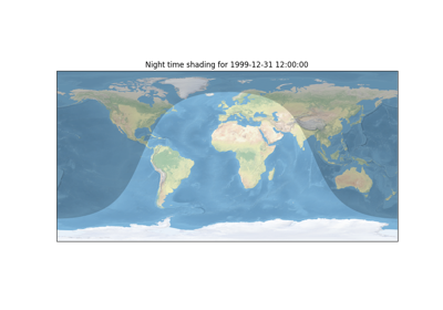
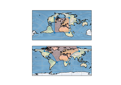
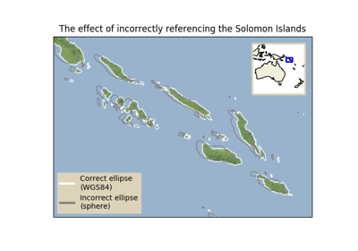
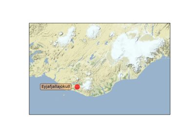
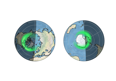
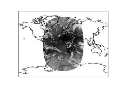
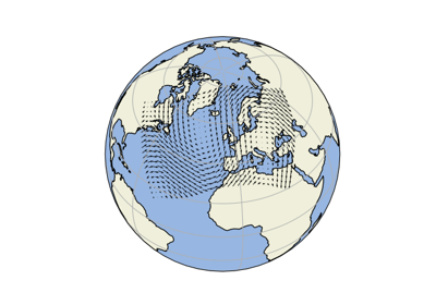
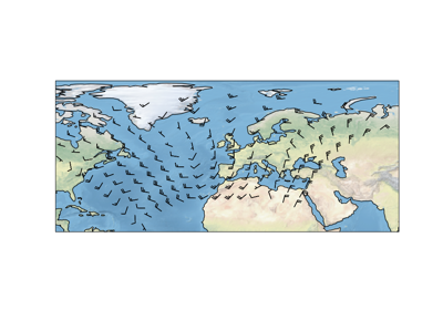
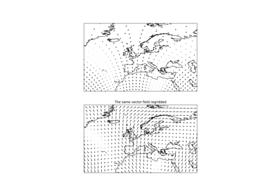
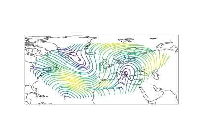
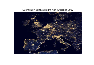
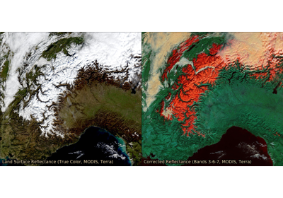
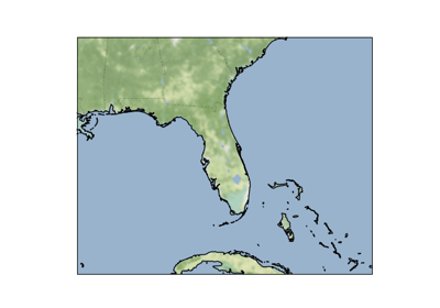
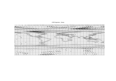
Miscellaneous cartopy utilities

Next topic

Custom Boundary Shape

This Page

  • Show Source

Quick search

Cartopy Gallery

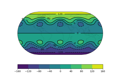
The following visual examples demonstrate some of the functionality of Cartopy, particularly its matplotlib interface.

For a structured introduction to cartopy, including some of these examples, see Getting started.

Lines and polygons

../_images/sphx_glr_always_circular_stereo_thumb.png

Custom Boundary Shape

../_images/sphx_glr_feature_creation_thumb.png

Feature Creation

../_images/sphx_glr_features_thumb.png

Features

../_images/sphx_glr_global_map_thumb.png

Global Map

../_images/sphx_glr_gridliner_thumb.png

Gridlines and tick labels

../_images/sphx_glr_hurricane_katrina_thumb.png

Hurricane Katrina

../_images/sphx_glr_nightshade_thumb.png

Nightshade feature

../_images/sphx_glr_rotated_pole_thumb.png

Rotated pole boxes

../_images/sphx_glr_effects_of_the_ellipse_thumb.png

The effect of badly referencing an ellipse

../_images/sphx_glr_tissot_thumb.png

Tissot’s Indicatrix

Scalar data

../_images/sphx_glr_contour_labels_thumb.png

Contour labels

../_images/sphx_glr_waves_thumb.png

Filled contours

../_images/sphx_glr_eyja_volcano_thumb.png

Map tile acquisition

../_images/sphx_glr_aurora_forecast_thumb.png

Plotting the Aurora Forecast from NOAA on Orthographic Polar Projection

../_images/sphx_glr_geostationary_thumb.png

Reprojecting images from a Geostationary projection

Vector data

../_images/sphx_glr_arrows_thumb.png

Arrows

../_images/sphx_glr_barbs_thumb.png

Barbs

../_images/sphx_glr_regridding_arrows_thumb.png

Regridding vectors with quiver

../_images/sphx_glr_streamplot_thumb.png

Streamplot

Web services

../_images/sphx_glr_reprojected_wmts_thumb.png

Displaying WMTS tiled map data on an arbitrary projection

../_images/sphx_glr_wms_thumb.png

Interactive WMS (Web Map Service)

../_images/sphx_glr_wmts_thumb.png

Interactive WMTS (Web Map Tile Service)

../_images/sphx_glr_wmts_time_thumb.png

Web Map Tile Service time dimension demonstration

../_images/sphx_glr_image_tiles_thumb.png

Web tile imagery

Gridlines

../_images/sphx_glr_gridliner_thumb.png

Gridlines and tick labels

Miscellanea

../_images/sphx_glr_favicon_thumb.png

Cartopy Favicon

../_images/sphx_glr_logo_thumb.png

Cartopy Logo

../_images/sphx_glr_utm_all_zones_thumb.png

Displaying all 60 zones of the UTM projection

../_images/sphx_glr_eccentric_ellipse_thumb.png

Displaying data on an eccentric ellipse

../_images/sphx_glr_star_shaped_boundary_thumb.png

Modifying the boundary/neatline of a map in cartopy

../_images/sphx_glr_tick_labels_thumb.png

Tick Labels

../_images/sphx_glr_tube_stations_thumb.png

Tube Stations

../_images/sphx_glr_un_flag_thumb.png

UN Flag

../_images/sphx_glr_axes_grid_basic_thumb.png

Using Cartopy and AxesGrid toolkit

Tick labels

../_images/sphx_glr_gridliner_thumb.png

Gridlines and tick labels

Download all examples in Python source code: gallery_python.zip

Download all examples in Jupyter notebooks: gallery_jupyter.zip

Gallery generated by Sphinx-Gallery

Navigation

  • index
  • outline |
  • next |
  • previous |
  • home| 
  • gallery| 

Documentation licensed under the Open Government Licence

© British Crown Copyright 2011 - 2018, Met Office Created using Sphinx 2.0.1.