Version 0.20 (September 17, 2021)
For a full list of included Pull Requests and closed Issues, please see the 0.20 milestone.
Features
We have updated the minimum versions of dependencies following the guidelines of NEP29. This includes the required dependencies, which are now Python>=3.7, GEOS>=3.7.2, shapely>=1.6.4, pyshp>=2.1, numpy>=1.18, matplotlib>=3.1, PROJ>=8.0, and pyproj>=3.0
Stephane Raynaud added the
cartopy_feature_download.pyscript to the installation bundle, making it accessible to everyone and Ruth Comer updated the NaturalEarth url to download from the new AWS cloud host. (PR #1602, PR #1833)Louis Moresi updated the Mapbox API to download from their new endpoints. (PR #1763)
Stephane Raynaud updated the visibility handling for labels (PR #1537)
@muchjp added the ability for the gridliner to handle shorthand keyword arguments (e.g., c for color). (PR #1818)
Greg Lucas reorganized the documentation and updated the theme to use the pydata-sphinx-theme. (PR #1652)
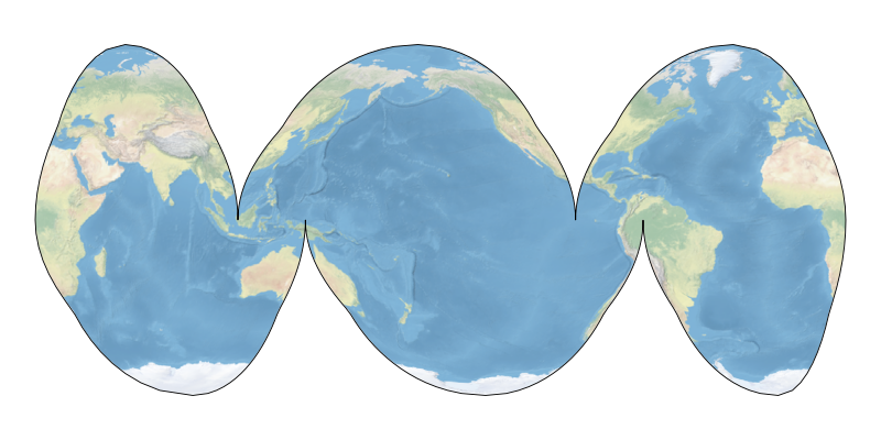
John Krasting extended the InterruptedGoodeHomolosine projection to add an ocean emphasis option. (PR #1561)
Max H. Balsmeier updated the GSHHS coastlines that are used by Cartopy. (PR #1823)
Yihe Xu added the ability to adjust the threshold of the projections. (PR #1815)
Rahul Mahajan added an environment variable to point to site-wide data installation directories. (PR #1827)
Alan D. Snow updated Cartopy to use pyproj for coordinate transformations, which enables the use of newer PROJ versions. (PR #1808)
Thomas Grainger and Elliott Sales de Andrade bumped the minimum Python dependency to 3.7. (PR #1844)
Greg Lucas updated the default zorder for features to be 1.5, which is above patches and below lines. This is in preparation for a change in artist orders with Matplotlib 3.5. (PR #1840)
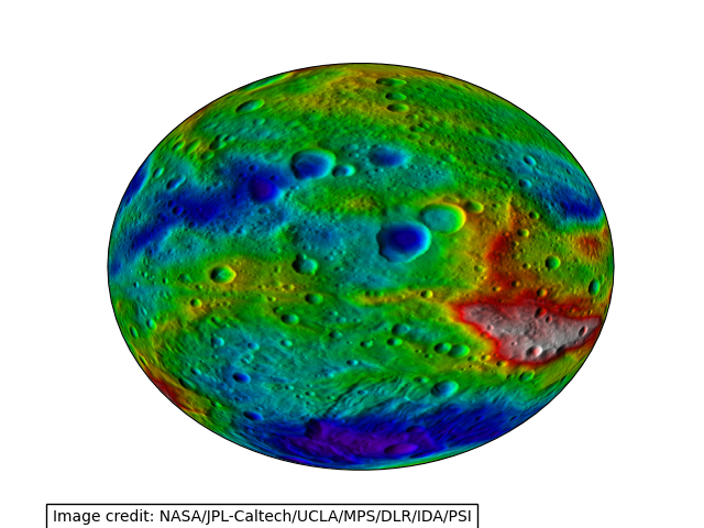
Ryan May updated the Geostationary projection boundary to properly calculate the boundary ellipse. (PR #1829)

