Version 0.20 (September 17, 2021)#
For a full list of included Pull Requests and closed Issues, please see the 0.20 milestone.
Features#
We have updated the minimum versions of dependencies following the guidelines of NEP29. This includes the required dependencies, which are now Python>=3.7, GEOS>=3.7.2, shapely>=1.6.4, pyshp>=2.1, numpy>=1.18, matplotlib>=3.1, PROJ>=8.0, and pyproj>=3.0
Stephane Raynaud added the
cartopy_feature_download.pyscript to the installation bundle, making it accessible to everyone and Ruth Comer updated the NaturalEarth url to download from the new AWS cloud host. (PR #1602, PR #1833)Louis Moresi updated the Mapbox API to download from their new endpoints. (PR #1763)
Stephane Raynaud updated the visibility handling for labels (PR #1537)
@muchjp added the ability for the gridliner to handle shorthand keyword arguments (e.g., c for color). (PR #1818)
Greg Lucas reorganized the documentation and updated the theme to use the pydata-sphinx-theme. (PR #1652)
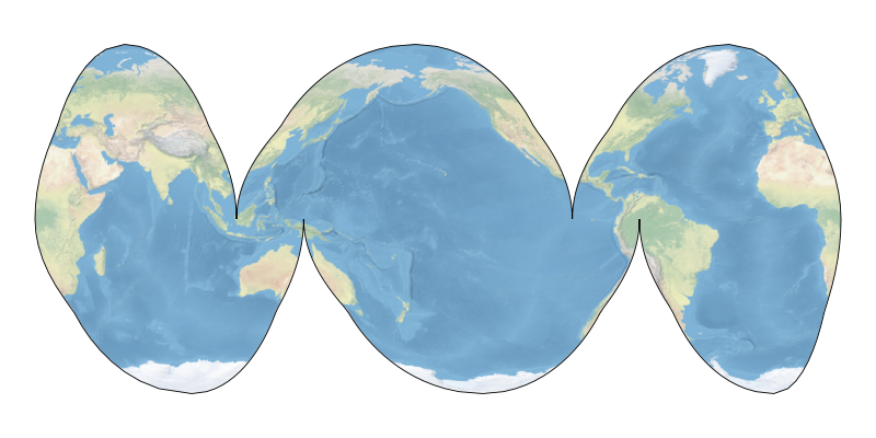
John Krasting extended the InterruptedGoodeHomolosine projection to add an ocean emphasis option. (PR #1561)
Max H. Balsmeier updated the GSHHS coastlines that are used by Cartopy. (PR #1823)
Yihe Xu added the ability to adjust the threshold of the projections. (PR #1815)
Rahul Mahajan added an environment variable to point to site-wide data installation directories. (PR #1827)
Alan D. Snow updated Cartopy to use pyproj for coordinate transformations, which enables the use of newer PROJ versions. (PR #1808)
Thomas Grainger and Elliott Sales de Andrade bumped the minimum Python dependency to 3.7. (PR #1844)
Greg Lucas updated the default zorder for features to be 1.5, which is above patches and below lines. This is in preparation for a change in artist orders with Matplotlib 3.5. (PR #1840)
Ryan May updated the Geostationary projection boundary to properly calculate the boundary ellipse. (PR #1829)

