Version 0.21 (September 9, 2022)#
Cartopy v0.21 is not compatible with Shapely 2.0, so this release has an upper pin on Shapely to avoid installing newer versions.
For a full list of included Pull Requests and closed Issues, please see the 0.21 milestone.
Features#
The requirement to install with a local PROJ installation has been removed. The previous C PROJ library calls have been replaced by pyproj. (PR #2069)
Many test improvements, including moving to pytest-mpl for image comparisons and parametrizing many tests where possible. (PR #1887, PR #1891, PR #1900)
The UTF8 degree symbol is now used for latitude and longitude labels. (PR #1885)
Clément fixed an issue that would ignore the alpha channel when reprojecting RGBA images. (PR #1906)
Filled features no longer set the edgecolor by default. The edgecolor can still be explicitly set when adding the feature
ax.add_feature(LAND, edgecolor='k'). (PR #1933)The approx keyword to TransverseMercator, OSGB, and OSNI projections now defaults to False. (PR #1957)
geoaxes.add_geometries()now accepts both a list of geometries and a single geometry. (PR #1999)Better handling of non-ndarray inputs like
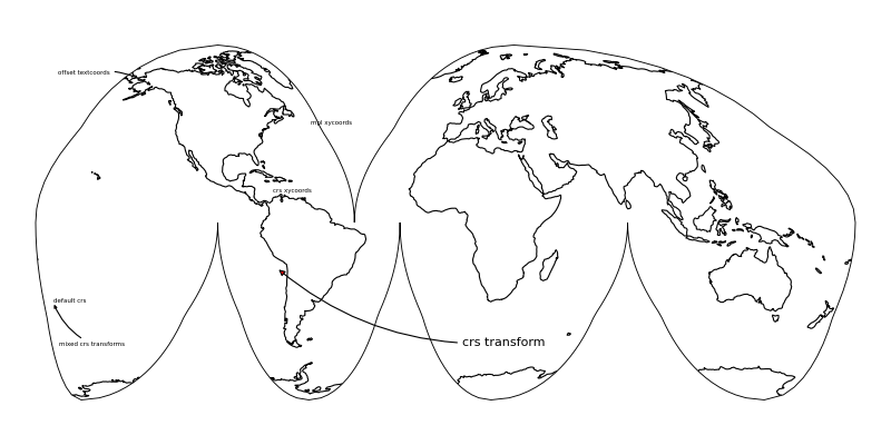
xarray.DataArray. (PR #2050)Alan Brammer added the ability to pass CRS’s for the text and xy coordinates used in
ax.annotate(). (PR #2065)
Deprecations#
Passing map_projection as a keyword when manually creating a GeoAxes object is deprecated, use projection instead.
Removals#
The following functions and classes have been removed after being deprecated multiple versions prior. See the previous What’s New notes for replacements.
geoaxes.outline_patch()geoaxes.background_patch()geoaxes.natural_earth_shp()The argument
secant_latitudesto the LambertConformal projection.img_tiles.StamenTerrainsrtm.SRTM3_retrieve,srtm.srtm,srtm.srtm_composite, andsrtm.fill_gapsclip_path.clip_path

