Version 0.11 (June 19, 2014)#
Richard Hattersley added
epsg()support for generating a Cartopy projection at run-time based on the EPSG code of a projected coordinate system. This mechanism utilises https://epsg.io/ as a coordinate system resource and employs EPSG request caching using pyepsgPhil Elson added
WMSRasterSourcewhich provides interactive pan and zoom OGC web services support for a Web Map Service (WMS) aware axes. This capability may be added to an axes via theadd_wms()method. Generic interactive slippy map panning and zooming capability is managed through the newSlippyImageArtistand use of theadd_raster()method.WMTSRasterSourcewas added by Richard Hattersley to provide interactive pan and zoom OGC web services support for a Web Map Tile Service (WMTS) aware axes, which is available through theadd_wmts()method. This includes support for the Google Mercator projection and efficient WMTS tile caching. This new capability determines how to match up the available tiles projections with the target projection and chooses the zoom level to best match the pixel density in the rendered image.
Thomas Lecocq added functionality to
cartopy.io.srtmallowing intelligent filling of missing elevation data, as well as a function to compute elevation shading for relief style mapping. An example has been added which uses both of these functions to produce a grayscale shaded relief mapLion Krischer extended the capability of
GoogleTilesto allow support for street, satellite, terrain and street_only style Google Map tiles.Nat Wilson’s contribution brought us a major step closer to Python 3 compatibility.
Support for the
UTMprojection was added by Mark Hedley.Andrew Dawson has added a new convenience utility function
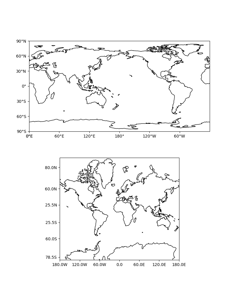
add_cyclic_point()to add a cyclic point to an array and optionally to a corresponding 1D coordinate.Andrew Dawson added formatters for producing longitude/latitude tick labels for rectangular projections. The formatters are customizable and can be used to produce nice tick labels in a variety of styles:

